
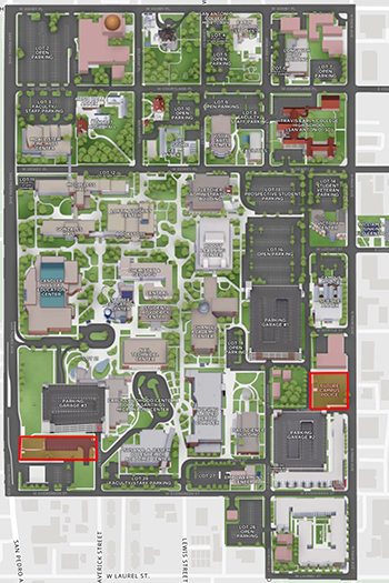
Campus Map
Find your way around campus with our interactive map showing campus facilities, parking, VIAtrans bus stops, accessibility features, and more.
Pro tip: Use the wayfinding feature on the interactive map to find the best walking route between two locations!
|
|
Printable Maps |
Online Map |
How to Use the Online, Interactive Campus Map
Whether you're visiting campus or just exploring, here’s how to use the interactive map with ease:
Find a Location
- Use the search field to type in what you're looking for — like "Library", "Science Building", or "Parking."
- Press Enter or click the magnifying glass icon.
- The map will zoom in and highlight the spot.
Explore Categories
On desktop, use the left side menu, and on mobile, click “Locations” on the lower menu to browse categories like:
- Buildings
- Student Resources
- Parking
- Accessibility
Click a category to see everything in that group show up on the map.
Get Directions
- Use the “Wayfinding” tool.
- Choose where you're starting and where you want to go.
- The map will draw a path and show how to get there.
Zoom and Move the Map
- Zoom in/out by using the + and – buttons, or pinch if you’re on a phone/tablet.
- Move the map by clicking and dragging your mouse (or swiping on a touchscreen).